

Get ready for a weekend with intermittent showers and thunderstorms on the radar! While it won’t be a total washout, you’ll want to keep an eye on the sky, especially during the afternoon and evening hours. Although, there is one day this weekend that sticks out for the greatest chance for precipitation. Here’s what you can expect day-by-day in Pennsylvania this weekend:
FRIDAY, JULY 11TH:

While Friday will not be a total washout, showers and thunderstorms are expected across the state during the afternoon and evening hours. High temperatures will climb into the low-to-mid 80s for many locations, with a few spots climbing into the upper-80s. Heat indices should be in the mid-80s to low-90s for the hottest locations, due to the increased humidity, but does not pose a major risk. Remain hydrated during the hottest parts of the day, especially if you are doing strenuous activities.
Larger towns/cities at greatest risk: Meadville, Mercer, St.Mary’s, State College, Altoona, Johnstown
AREA A – Scattered (35-45%) chance of showers and thunderstorms, primarily between 2 – 6 PM. A few of these storms may be locally strong and produce wind gusts of 35 – 50 MPH and a localized flash flood risk. Remain weather aware!
AREA B – Isolated (15-30%) chance of showers and thunderstorms, primarily between 2 – 6 PM. A localized storm may be locally strong and produce wind gusts of 35 – 45 MPH and a localized flash flood risk. Remain weather aware!
SATURDAY, JULY 12TH:

Saturday will be very similar to Friday with your typical afternoon showers and pop-up thunderstorms. High temperatures will climb into the mid-80s to low-90s for many locations. HEAT INDICIES MAY CLIMB INTO THE LOW-TO-MID 90S IN SOME LOCATIONS. Remain hydrated during the hottest parts of the day, especially if you are doing strenuous activities.
Larger towns/cities at greatest risk: Scranton, Williamsport, East Stroudsburg, Harrisburg
AREA A – Scattered (30 – 55 %) chance of showers and thunderstorms, primarily between 2 – 6 PM. A few of these storms may be locally strong and produce wind gusts of 35 – 50 MPH and a localized flash flood risk. Remain weather aware!
AREA B – Isolated (15-30%) chance of showers and thunderstorms, primarily between 2 – 6 PM. A localized storm may be locally strong and produce wind gusts of 35 – 45 MPH and a localized flash flood risk. Remain weather aware!
SUNDAY, JULY 13TH:

Sunday will likely hold the greatest chance for the most widespread precipitation, although it is still unknown on which locations will see the greatest risk, therefore, a more widespread ‘scattered’ zone has been outlined. High temperatures will climb into the upper-70s to upper-80s for many locations. Heat indices should be in the mid-80s to low-90s for the hottest locations, due to the increased humidity, but does not pose a major risk. Remain hydrated during the hottest parts of the day, especially if you are doing strenuous activities.
Larger towns/cities at greatest risk: Erie, Meadville, Mercer, Pittsburgh, Washington, St.Mary’s, Indiana, Johnstown, Altoona, State College, Scranton, Harrisburg, Gettysburg
AREA A – Scattered (30 – 55%) chance of showers and thunderstorms, primarily between 12 – 7 PM. A few of these storms may be locally strong-to-severe and produce wind gusts of 45 – 60 MPH and a localized flash flood risk. Watching the risk for a possible severe weather threat. Remain weather aware!
AREA B – Isolated (15-30%) chance of showers and thunderstorms, primarily between 12 – 7 PM. A localized storm may be locally strong and produce wind gusts of 35 – 45 MPH and a localized flash flood risk. Remain weather aware!
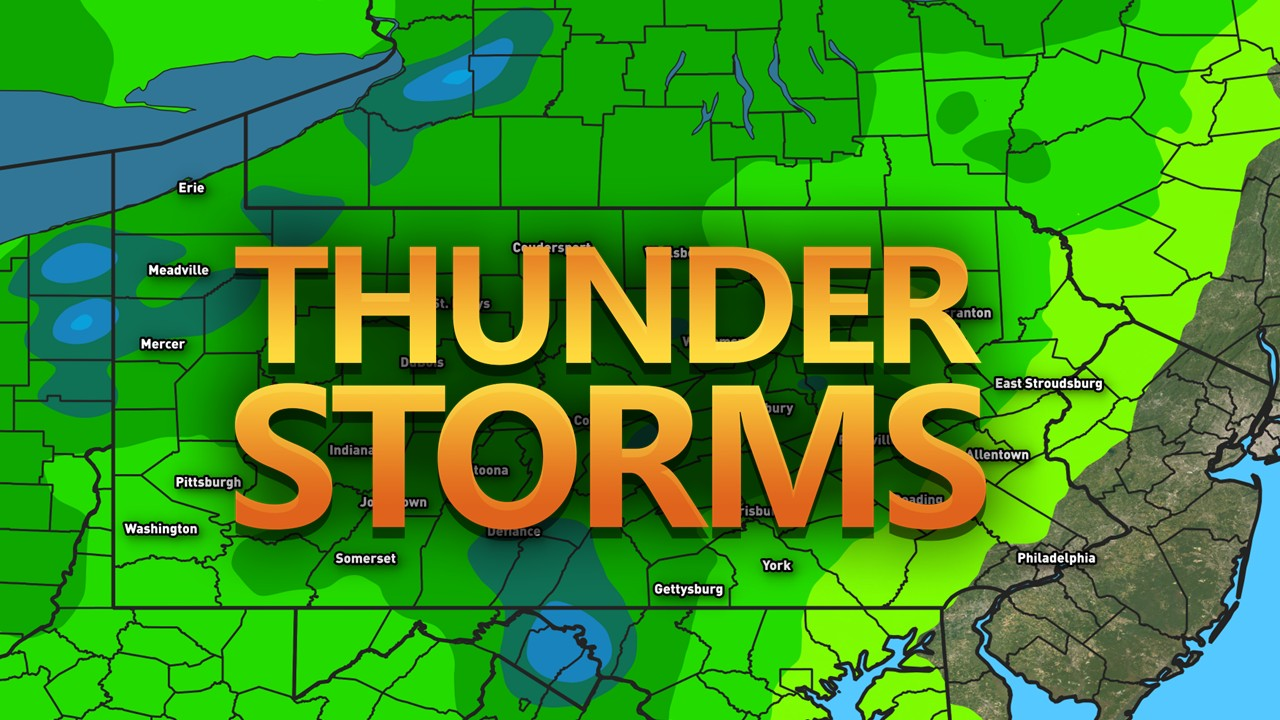
TOTAL PRECIPITATION:

Here is a general sense of how much precipitation is expected through Sunday. Keep in mind, some locations may see more or less precipitation, depending on where the heaviest showers and storms develop. This precipitation forecast is bound to change and may not reflect the heaviest thunderstorms. Any slower-moving heavier storm may be able to produce flash flooding this weekend, so please keep that in mind.
That is all for this weekend’s outlook. I hope to continue to expand these to bring more details to your weekend weather. If you have any questions, please feel free to reach out!
FIND YOUR LOCATION FORECAST HERE: https://paweatherplus.com/your-local-weather/
– Meteorologist Denys K
This is a fantastic detailed forecast! I love it!