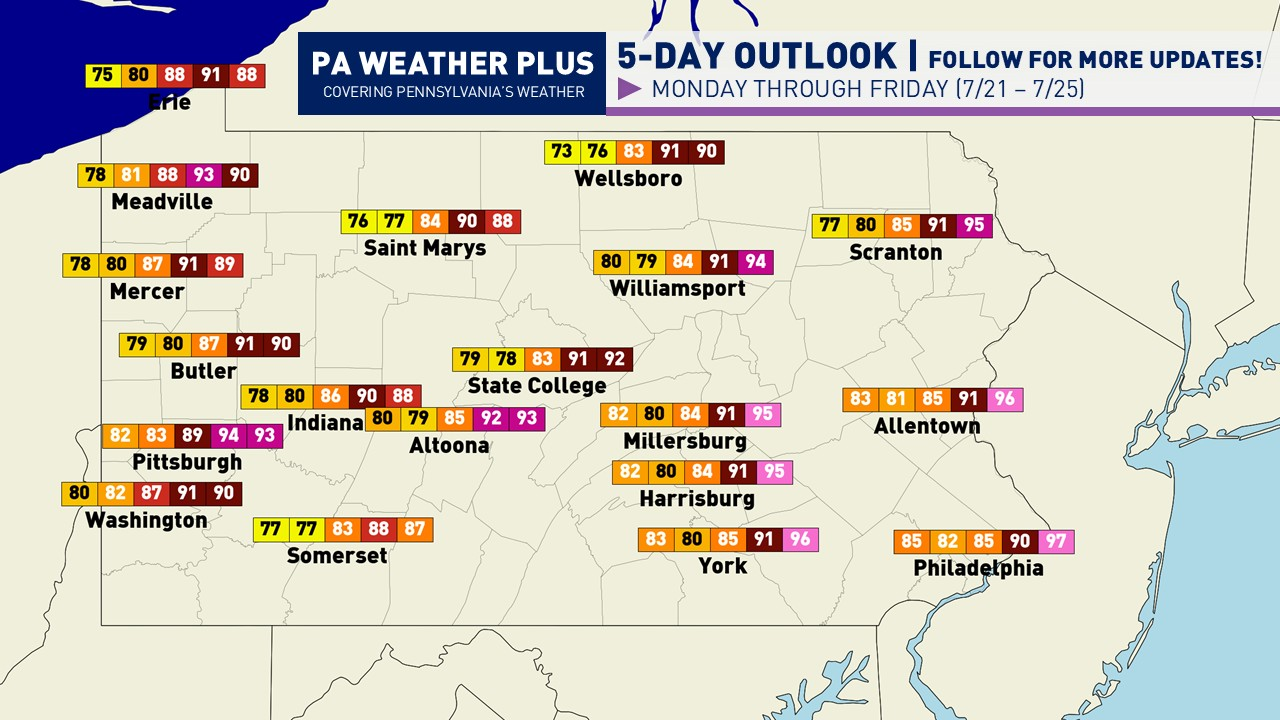
Pennsylvania Weekly Weather Outlook: Cooler Start, Dangerous Heat Returns Late Week (July 21–25, 2025)
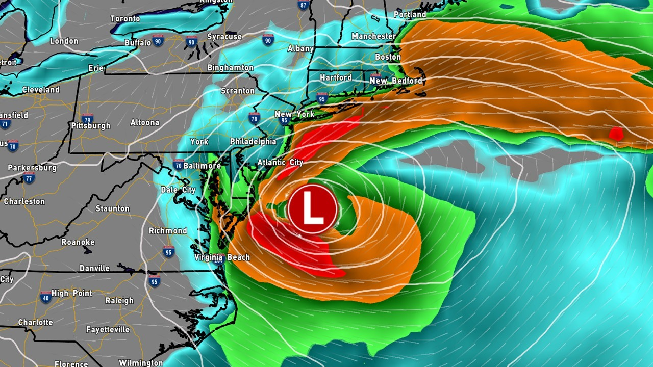
After what appears to be relentless wet patterns with a mixed in dry day or two throughout the summer months, we finally have what appears to be a multi-day break from the wetness and a few days of break from the higher heat and humidity. The early part of this week has trended a lot drier and cooler and this is due part of a stronger-than-forecasted high pressure system that will help push in this cooler air from Canada. With us beginning to enter the late July time period, cold fronts may begin to be a little bit more noticeable and help to push in slightly cooler airmasses, although we still have a lot of summer to push through! This cold front will push through Sunday night into Monday morning, with the workweek beginning with our dry period. The ‘cooler’ high pressure will remain in control Monday through Tuesday. We will have a constant flow out of the northwest, helping to push in these cooler conditions and keep up on the generally sunny side. Monday and Tuesday will be the coolest days of the week. Now, as we move into Wedneday afternoonthrough Friday, our same high pressure will move off the eastern US coast, and will abruptly change the flow from north-northwest to a deep southerly flow. This southerly flow will make for a significant rise in temperatures and dew points. By Thursday, temperatures will return into the upper-80s to low-90s with even hotter conditions expected by Friday with many locations climbing into the low-90s with a few locations into the mid-90s. With increasing humidity, dangerous heat indicies will likely return by Thursday and Friday. Any precipitation chances will likely hold unti Friday afternoon / evening, with the highest odds across northern Pennsylvania, although higher uncertainty remains.

MONDAY (7/21): High temperatures ranging from the mid-70s to low-80s. It may be a bit breezy at times with gusts out of the north-northwest at 20 – 25 mph. Generally mostly sunny skies expected.
TUESDAY (7/22): High temperatures ranging from the mid-70s to low-80s. Calm winds expected with generally mostly sunny skies with a few afternoon clouds.
WEDNESDAY (7/23): High temperatures ranging from the mid-80s to upper-80s. A return of southerly winds with gusts up to 15 mph. Filtered sunshine although generally sunny.
THURSDAY (7/24): High temperatures ranging from the upper-80s to low-90s. Higher heat indicies expected, likely climbing into the mid-90s for many locations. Southerly winds with gusts up to 15 mph. Filtered sunshine although generally sunny.
FRIDAY (7/25): High temperatures ranging from the upper-80s to mid-90s. Higher heat indicies expected, likely climbing into the upper-90s to low-100s for some locations, at least the mid-90s for many. Southwesterly winds expcted with gusts up to 15 to 20 mph. Expect a mix of sun and clouds. Precipitation chances possible across the northern tier later in the afternoon with possible showers and thunderstorms. Would not be surprised to see a low-end severe weather risk.
TOTAL PRECIPITATION:

Any precipitation chances will hold off until Friday afternoon / evening and into the overnight.
That is all for this week’s forecast. As I get more consistent with doing these blog posts, I hope to add more details and more graphics to help you plan for your week. If you have any questions, please PM on Facebook or email [email protected] and I will be glad to help. For a localized 2-day forecast, go to https://paweatherplus.com/your-local-weather/
-Meteorologist Denys K.